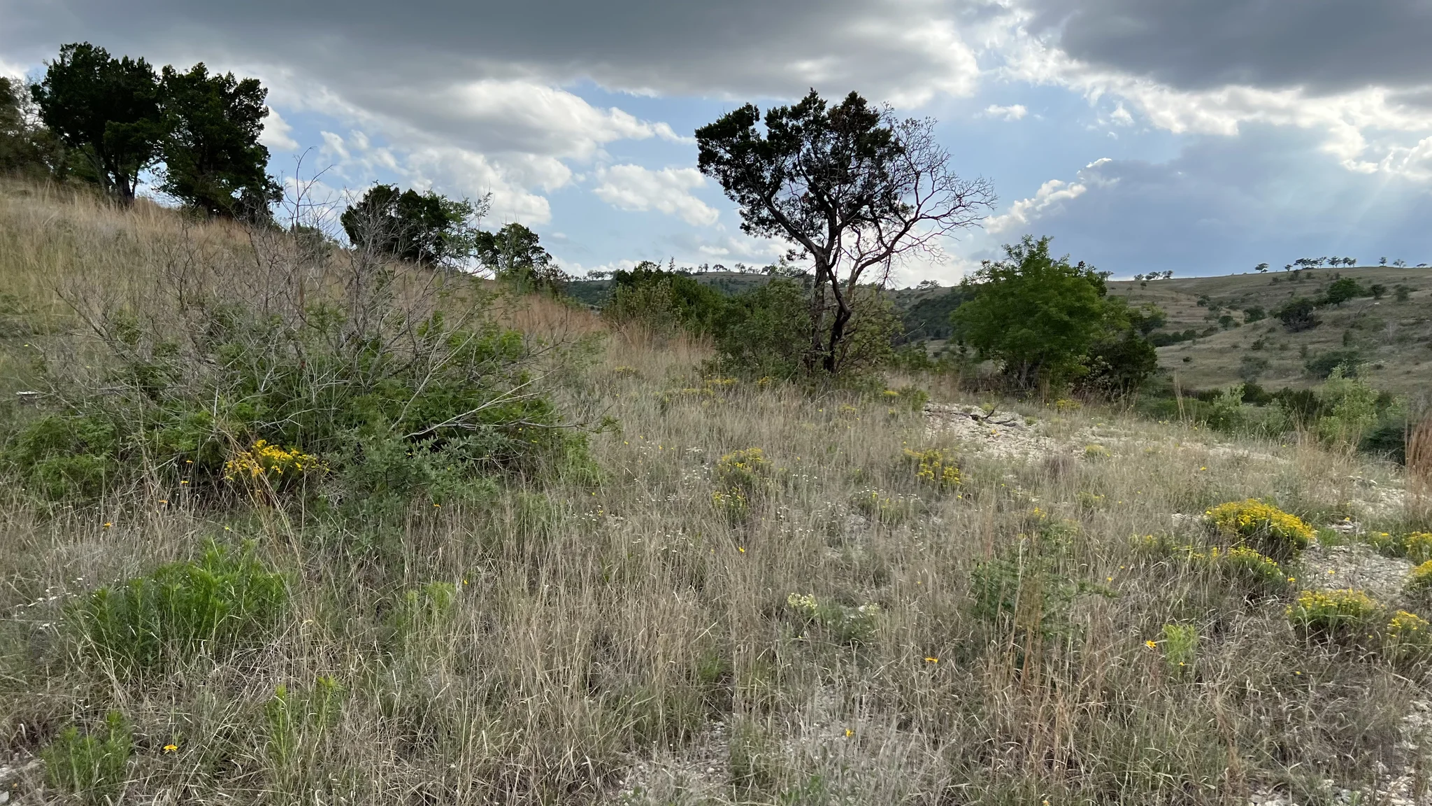
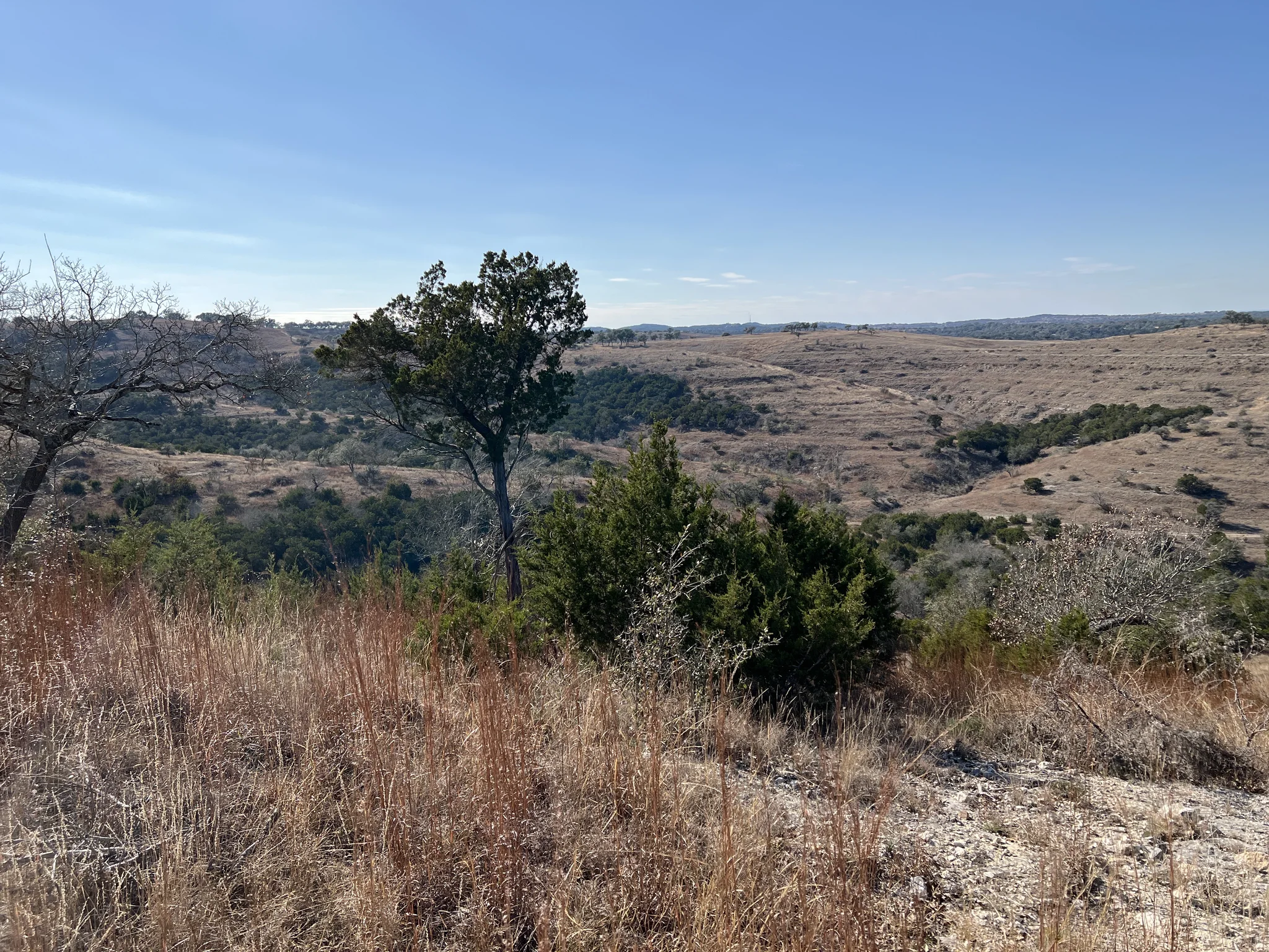
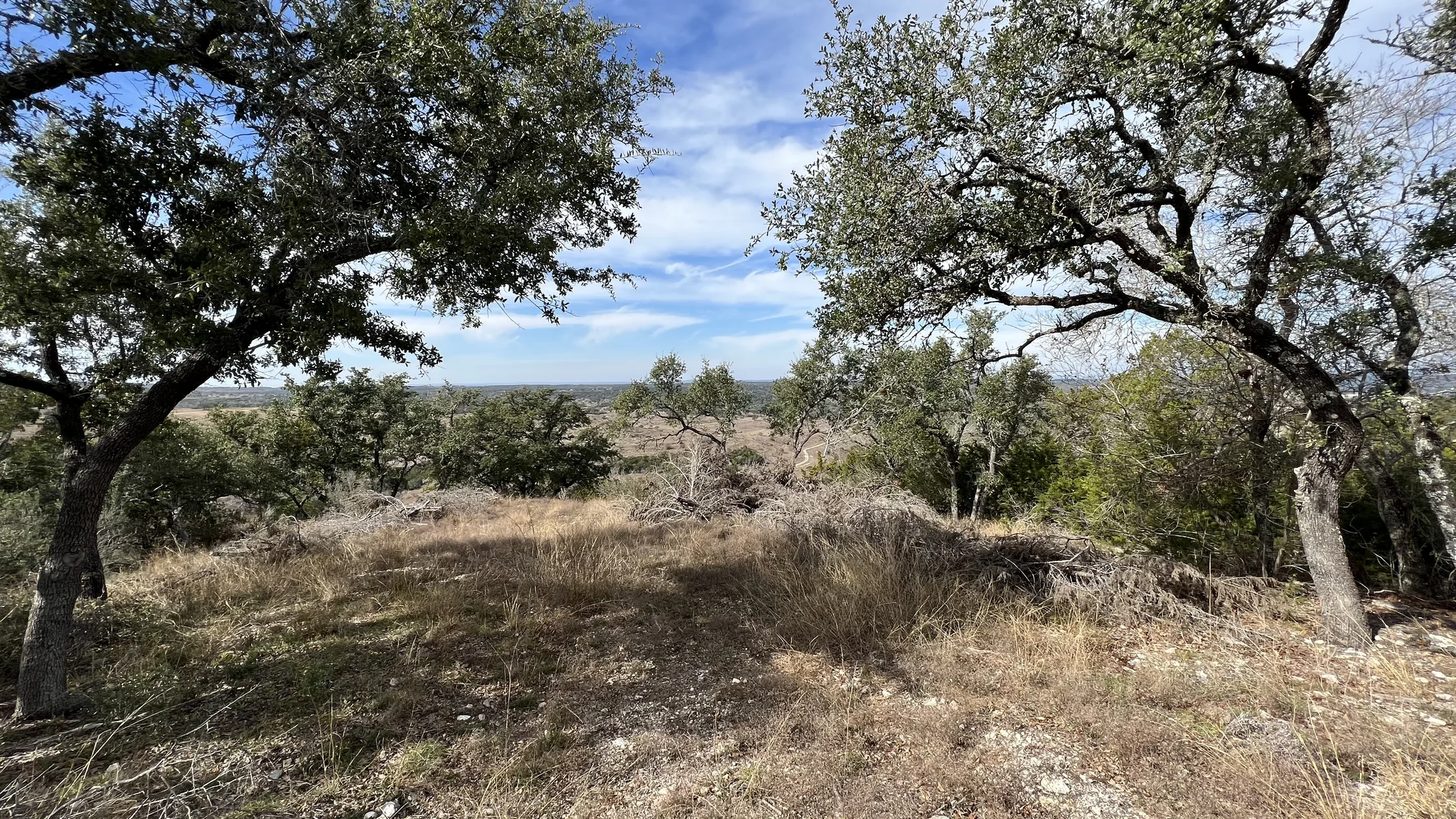
Space for a home that opens to the hills, with woodland and open ground to explore.
Beyond the gates of Preservation Ranch, Moreh Peak rises through open grassland, wooded slopes and deep folds in the hills. Walk the ridge. Find your favorite view. Imagine the terrace where everyone stays a little longer.
Approximately 32.33 acres give that vision room to take shape, in the Hill Country west of Austin.
Picture rooms opening onto shaded terraces, with stone and wood drawn from the Hill Country palette.
Picture generous living spaces opening to sheltered terraces, a pool catching the sky, and warm stone and wood that belong to this landscape. Our interactive home study lets you explore that ambition, from 3,500 to 7,250 square feet.
Land stewardship can come with a meaningful property-tax benefit.
Preservation Ranch promotes a wildlife management program with Texas 1-d-1 valuation incentives. Qualifying land is appraised on its agricultural productivity rather than its market value, a potentially substantial reduction in the land’s taxable value.
This is a land-valuation benefit, not a lower tax rate or a tax exemption for a future home. Residential improvements and the homesite are generally valued separately. Eligibility, continued management and changes in land use matter.
Ask Shailene for the current Lot 18 appraisal and wildlife-management information so you can understand today’s carrying costs and the picture after you build.